01
Day 1: Arrival in Benevento
Arrival at the hotel, dinner and night.
02
Distance 26,1 km
Day 2: Benevento - Casalbore
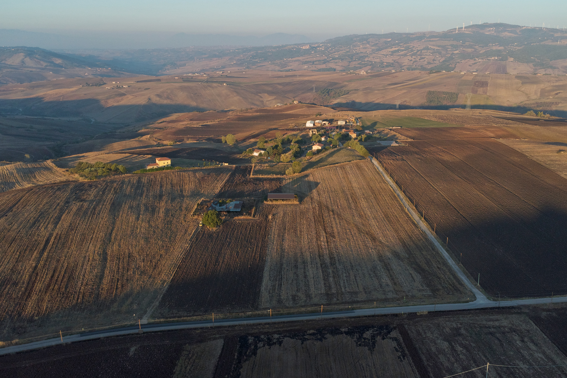
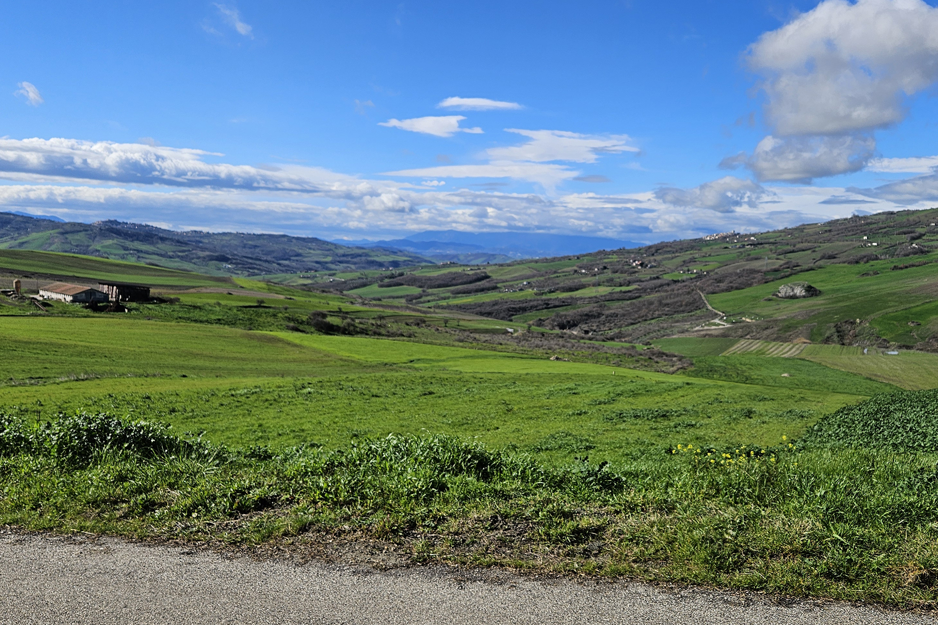
The next two stages, both challenging in terms of length and difference in altitude, cross the southern Apennines, a natural passage between Campania and Puglia: the route follows the Via Traiana, of which bridges and post stations survive. In today's stage we cross the outskirts of Benevento and then climb the hills, whose presence accompanies us up to Buonalbergo, where ancient traditional hospitality awaits the Pilgrim. The stage continues until Casalbore.
03
Distance 25,9 km
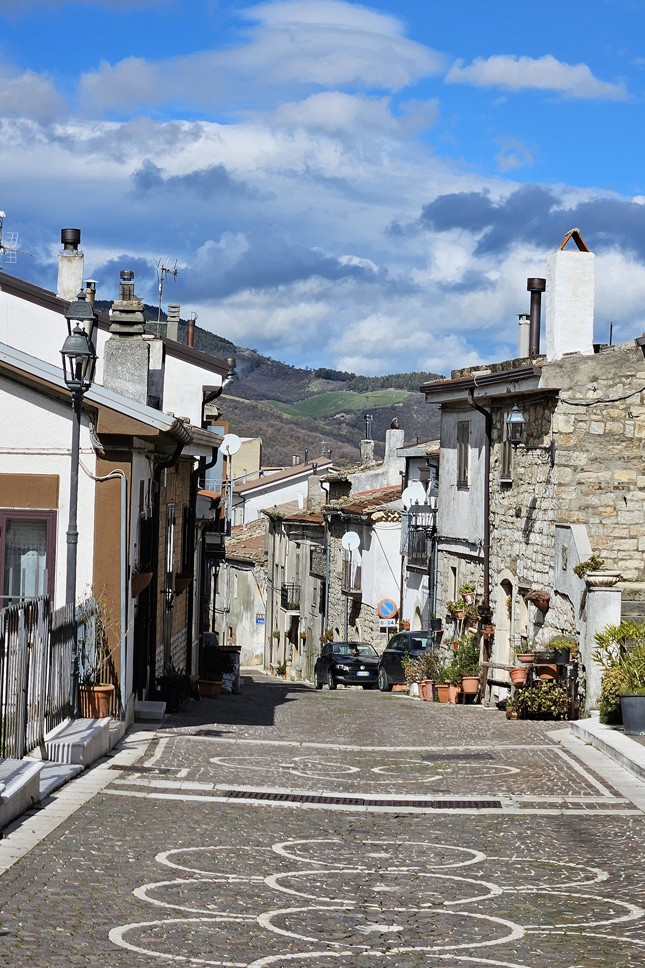
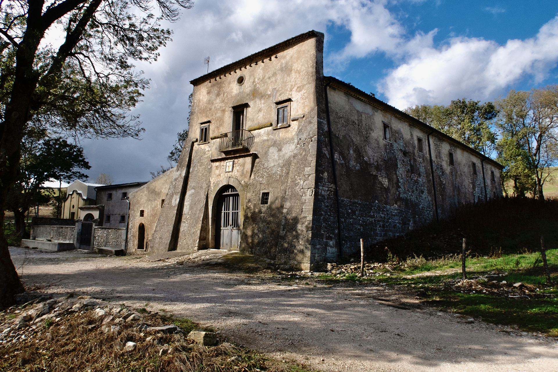
Day 3: Casalbore - Celle San Vito
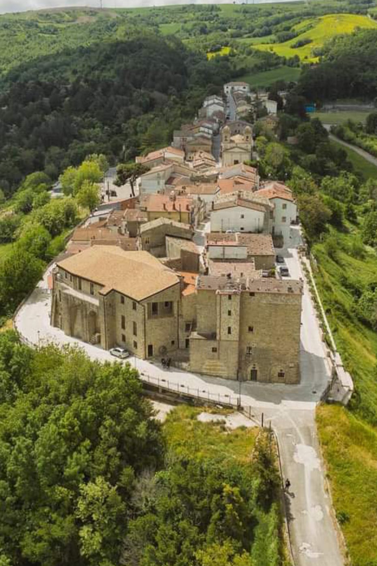
This stage, largely unpaved, is also long and demanding and the variant, preferable in winter and in case of rain, is equally so. After passing Casalbore, where a stop is recommended, the route follows the royal Pescasseroli Candela sheep track, which first descends towards the Miscano river and then climbs up among the hills: here are Aequum Tuticum and the Taverna Tre Fontane post station. Upon arrival, Puglia welcomes us with the charm of its smallest municipality, Celle di San Vito.
04
Distance 17,2 km
Day 4: Celle San Vito - Troia
We are in the Puglia tableland (tavoliere), with four easy stages ahead of us, mainly on asphalt, which have as their protagonist the granary of Italy, famous since Roman times for its boundless expanses of corn and wheat. This first stage ends in Troia, a city with a thousand-year history that has returned the oldest Italian document in which the Via Francigena is mentioned. From here the Via Micaelica also begins which leads to the sanctuary of Monte Sant'Angelo, one of the most important destinations for medieval pilgrims. Unfortunately, there are no water sources along the route.
05
Distance 23,8 km
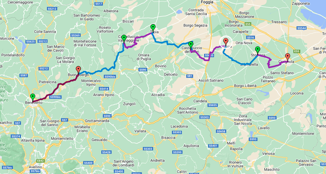
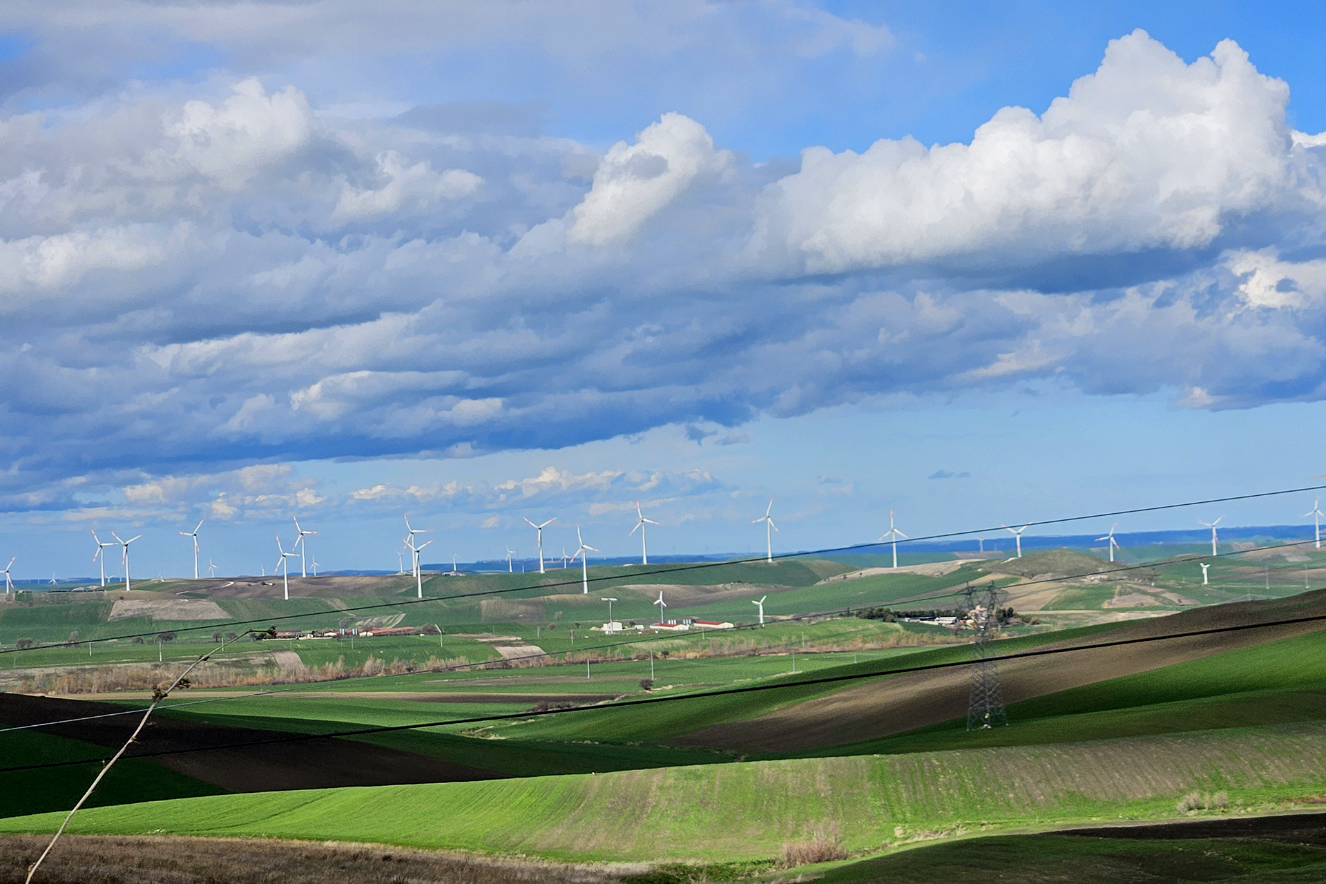
Day 5: Troia - Castelluccio dei Sauri
The main route continues descending the low hill on which Troia stands to immerse itself in the plain, among fields and wind turbines. Despite the prevalence of asphalt, the secondary districts and the absence of traffic allow you to appreciate, in silence and solitude, the beauty of the surrounding landscape. After crossing the Cervaro torrent, the route goes up towards Castelluccio dei Sauri, today's destination. There are no water sources along the route, so stock up well upon departure.
06
Distance 19,9 km
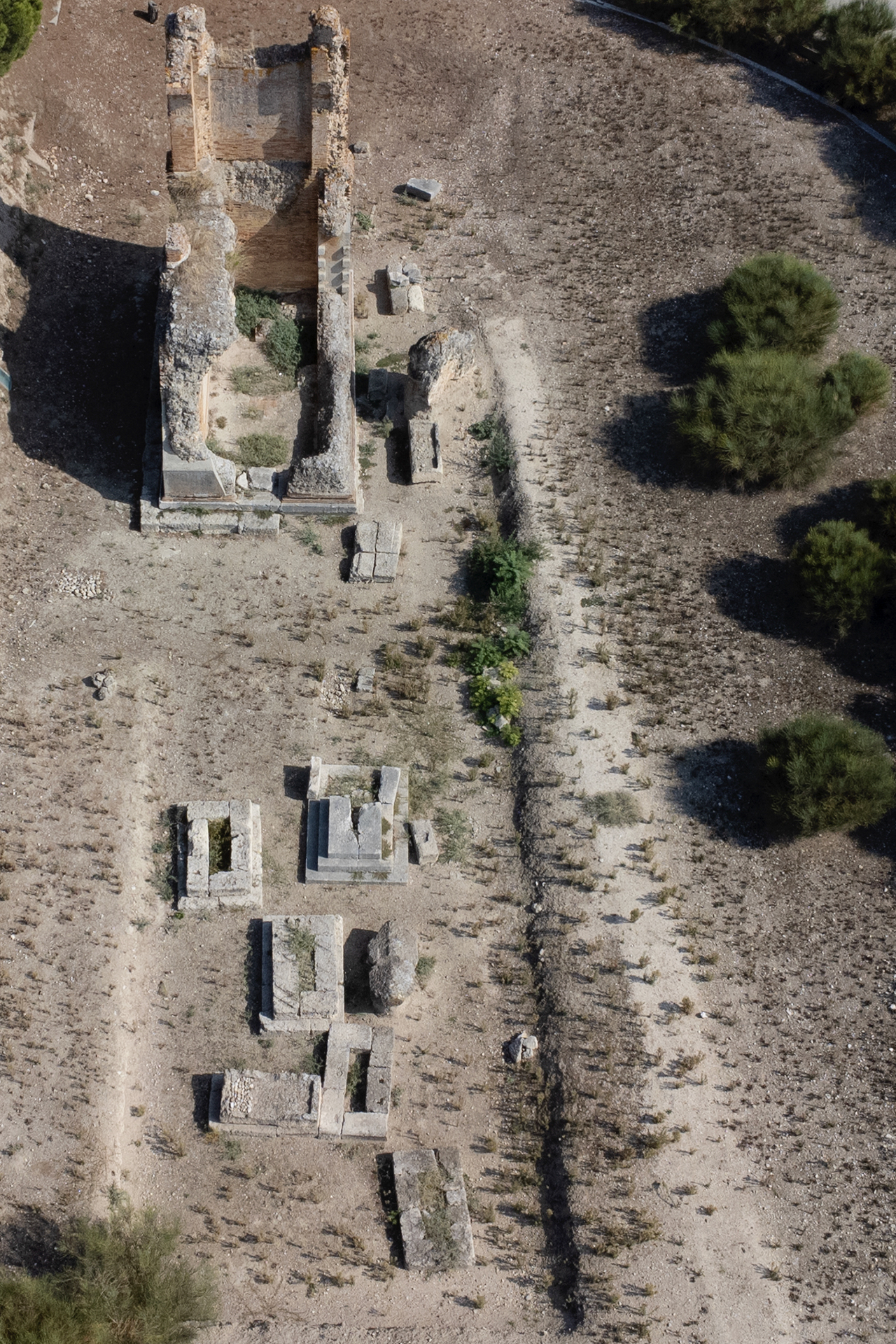
Day 6: Castelluccio dei Sauri - Ordona
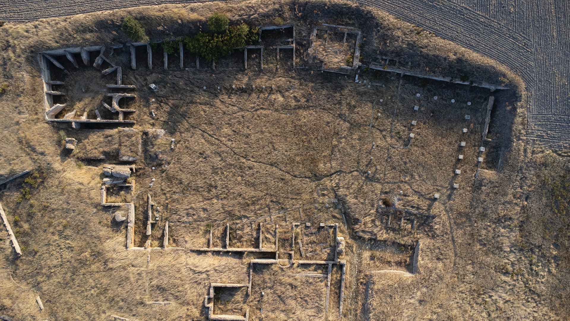
A simple stage, with quiet districts and gentle ups and downs, among the endless expanses of fields that take us to our destination: the small town of Ordona, near which the remains of the ancient Roman city that gave it its name are still preserved. A visit to the archaeological park of Herdonia, known as the "Pompeii of Puglia", is absolutely unmissable. There are no water sources along the way, so stock up well before leaving.
07
Distance 20,3 km
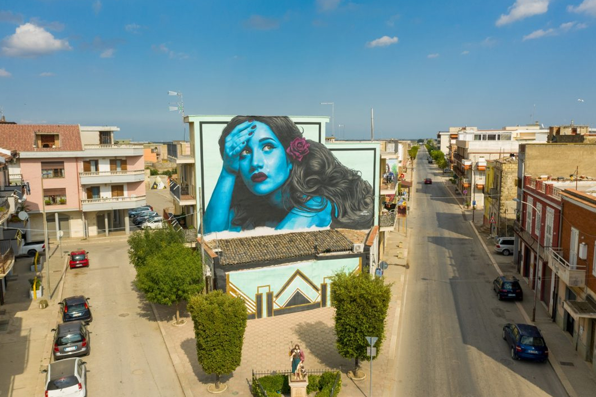
Day 7: Ordona - Stornara
A very easy stage, flat and largely on asphalt: the route passes alongside the archaeological area of Herdonia, then winds through the usual cultivated fields and wind turbines, very present in this area of the Tavoliere. In the last part the path reaches the town of Stornarella, a rural village where it is worth taking a break; from here, in a few kilometers you can reach Stornara, the city of murals and the rap festival.
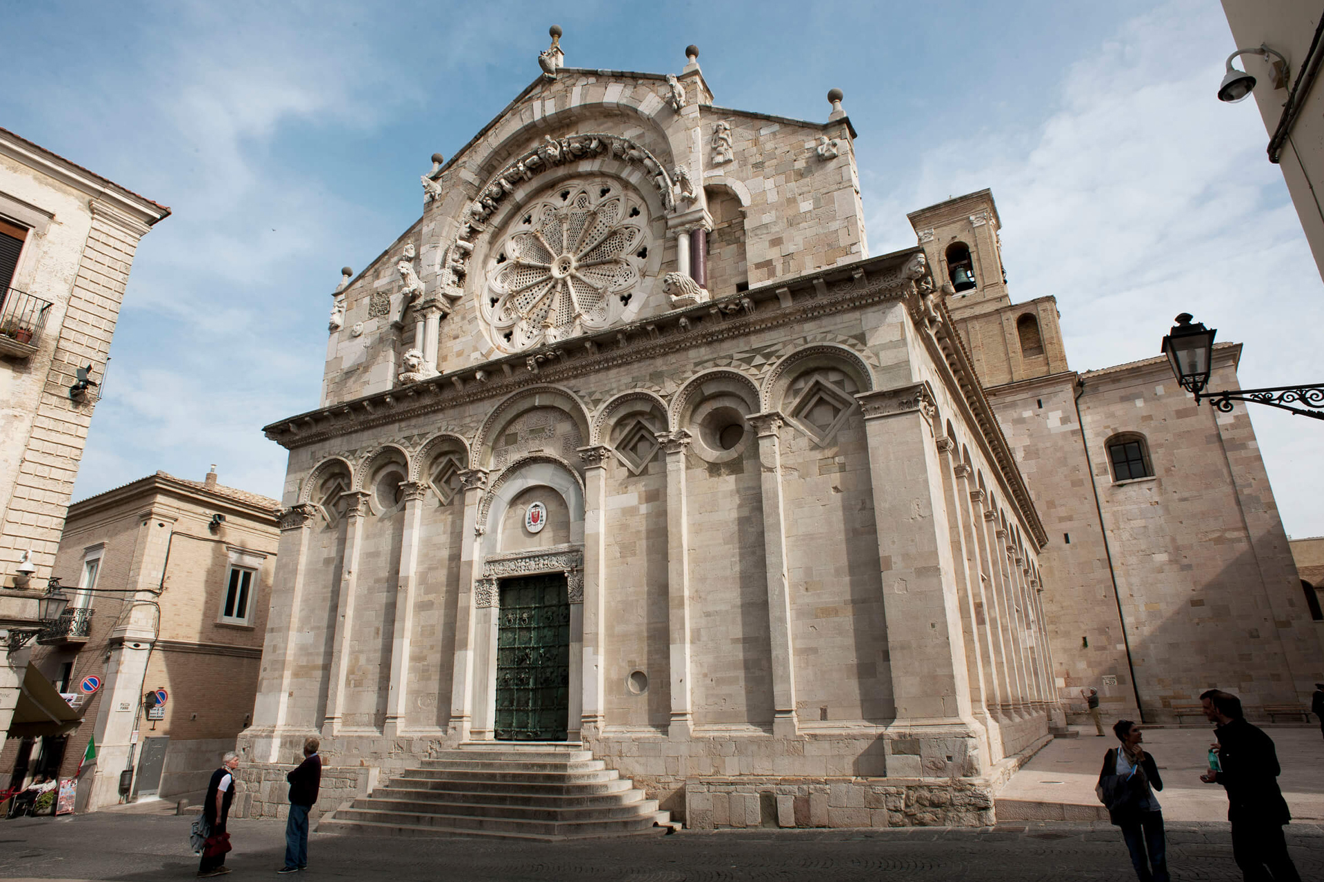
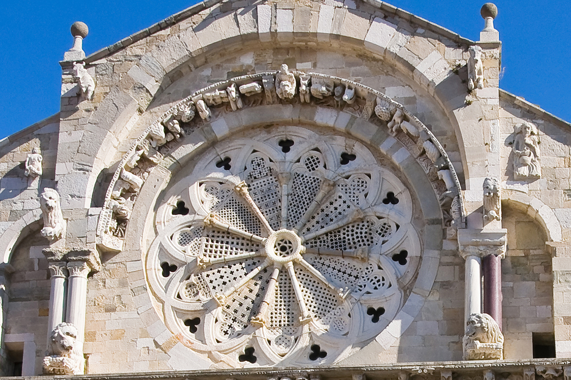
08
Distance 17,9 km
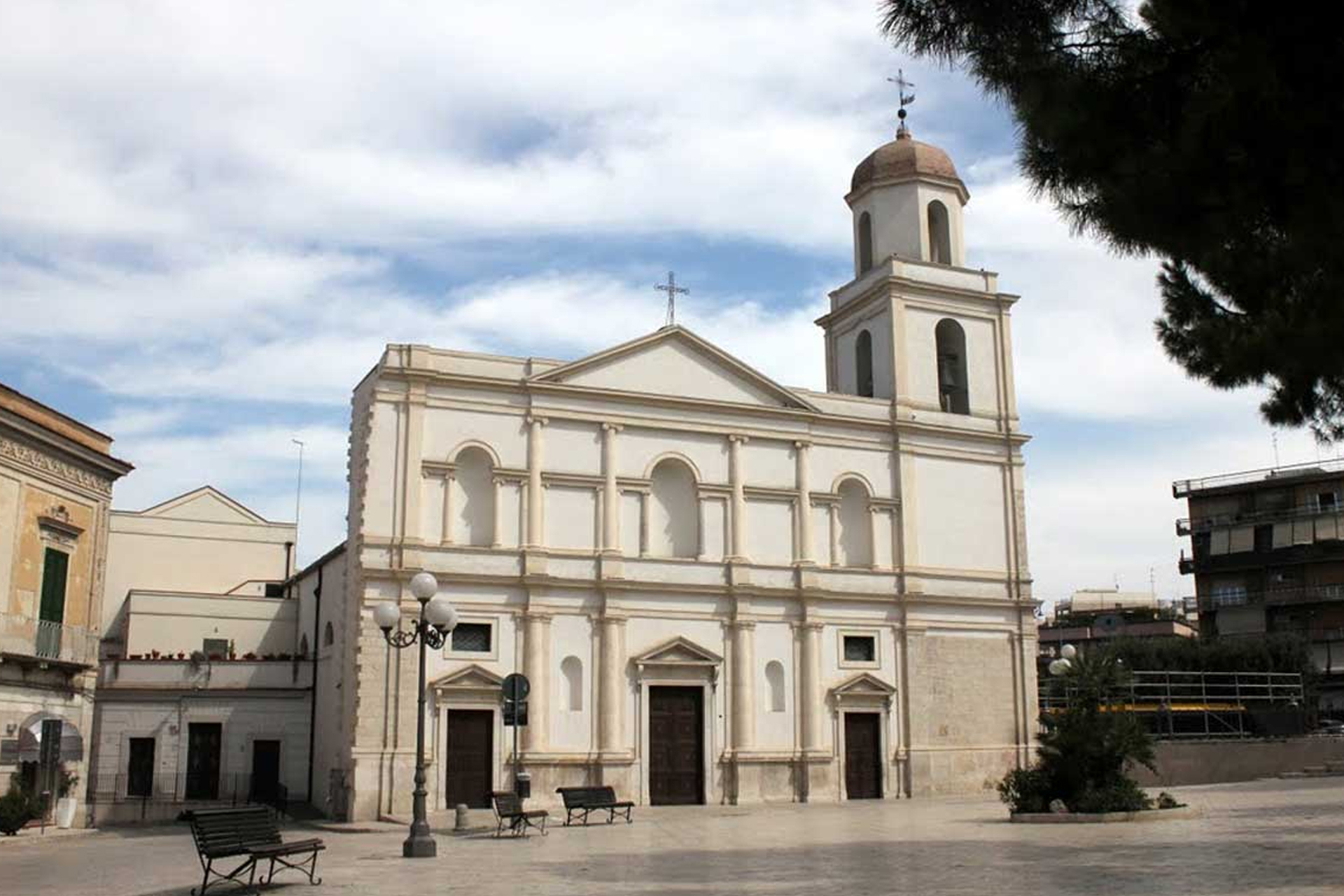
Day 8: Stornara - Cerignola
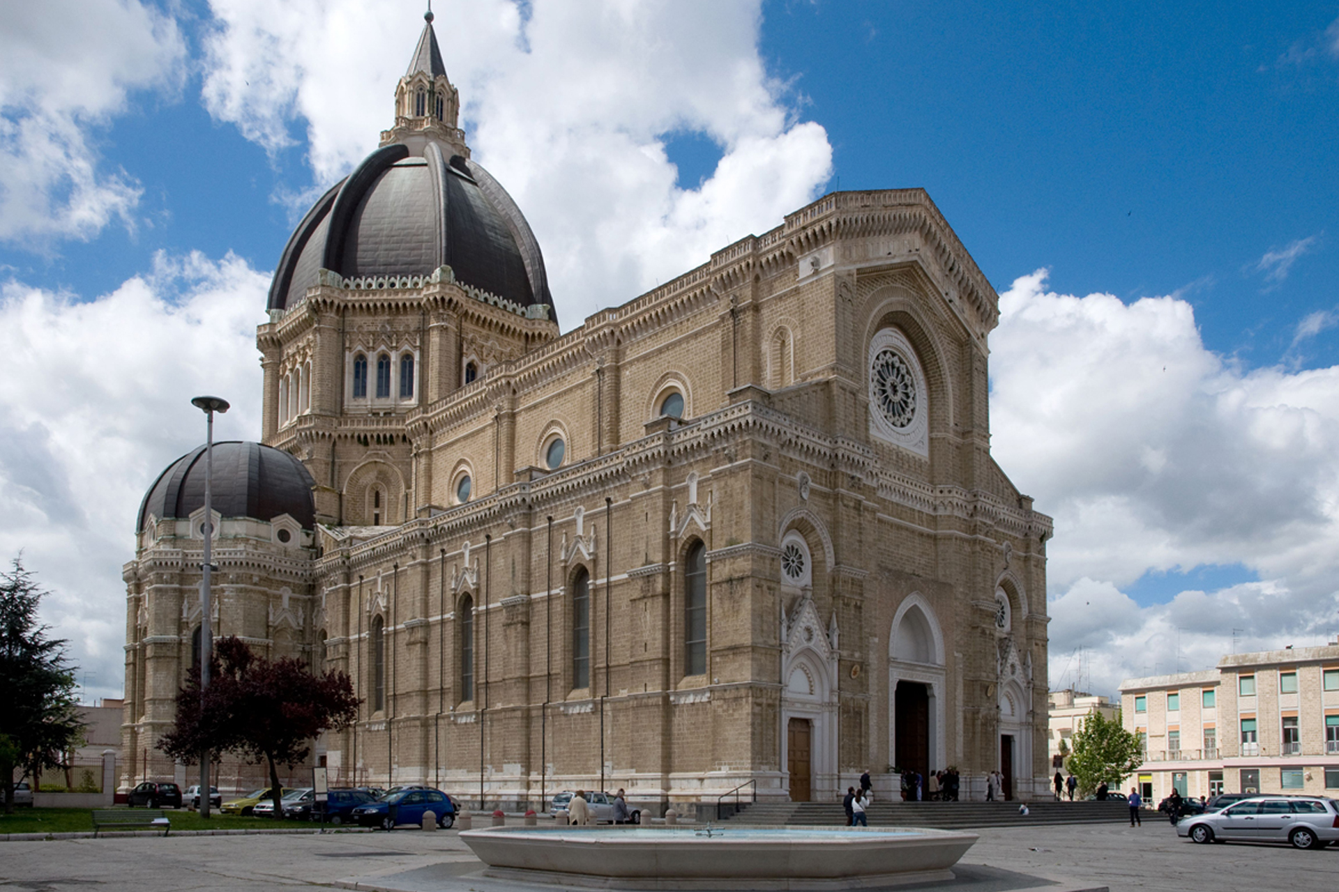
In today's stage and in the following one, both easy, the Tavoliere changes appearance: the wheat fields give way to olive groves and vineyards, while the presence of wind turbines remains constant. You walk along rural districts that lead to the gates of Cerignola, a city rich in history and monuments: its cathedral is among the most modern sacred buildings in southern Italy. Along the route, mostly dirt road, there are no water sources, so stock up on departure.
09
Day 9: End our service
See you next year to walk together the next stage