01
Day 1: Arrival in Assisi
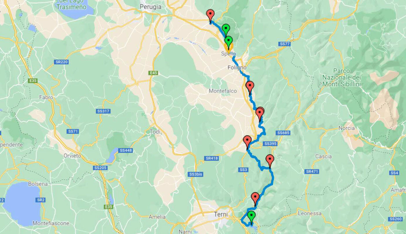
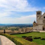
You can reach Assisi by train from Roma or Firenze. The peaceful atmosphere, imbued with spirituality and the superb scenery of the Valle Umbra and Monte Subasio, makes it the perfect place to begin such a spiritually and physically demanding route. Night in the Assisi historical center.
02
Distance 13,7 km - walking time 3 h
Day 2: Assisi - Spello
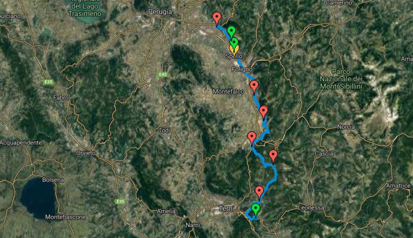
All on dirt roads, it’s an easy walk, with a low difference in height. You will walk through olive groves at midweight, on the southwest side of the Monte Subasio and beautiful sights on the Valle Umbra. Night in Spello, a small precious city, rich in monuments, superb churches, and masterpieces such as the Natività by Pinturicchio and a tasty and rich cooking tradition.
03
Distance 19,5 km - walkint time 3.5 h
Day 3: Spello - Trevi
The landscape is always the relaxing one of the Umbrian countryside, through woods and olive groves. Even the medieval city of Trevi is a small treasure in art, cooking and culture, climbed on the mountain. Night in the hotel in the town center.
04
Distance 13,1 km - walking time 4 h
Day 4: Trevi - Poreta
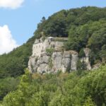
Now the way starts going up and down, although still not in a very hard way, and gradually increases in height. Poreta is dominated by its castle, nowadays closed to the visitors. Night in the village.
05
Distance 17,1 km - walking time 4.30 h
Day 5: Poreta - Spoleto
The day starts climbing to the castle and develops in up and downs through olive groves and woods. The final stretch entering Spoleto is on level or downhill roads welcomed by the Langobardic church of S. Salvatore and the S. Ponziano Monastery with a beautiful crypt. The city on its own is worthed a trip, and we recommend seeing the Duomo and the Rocca, while wondering around in the historical center. Night in hotel.
06
Distance 22,5 km - walking time 5.30 h
Day 6: Spoleto - Macenano
The way out from Spoleto is modified because of the Ponte delle Valli bridge closure, which starts steeply climbing and then flattens near the “Giro dei Condotti”. On the other side of the bridge the steep uphill way starts again up to the Monteluco. Hermitage. The day is long and strenuous because you will go from the Umbra Valley to the Valnerina valley. Night in B&B.
07
Distance 10 km - walking time 3.30 h
Day 7: Macenano - Arrone
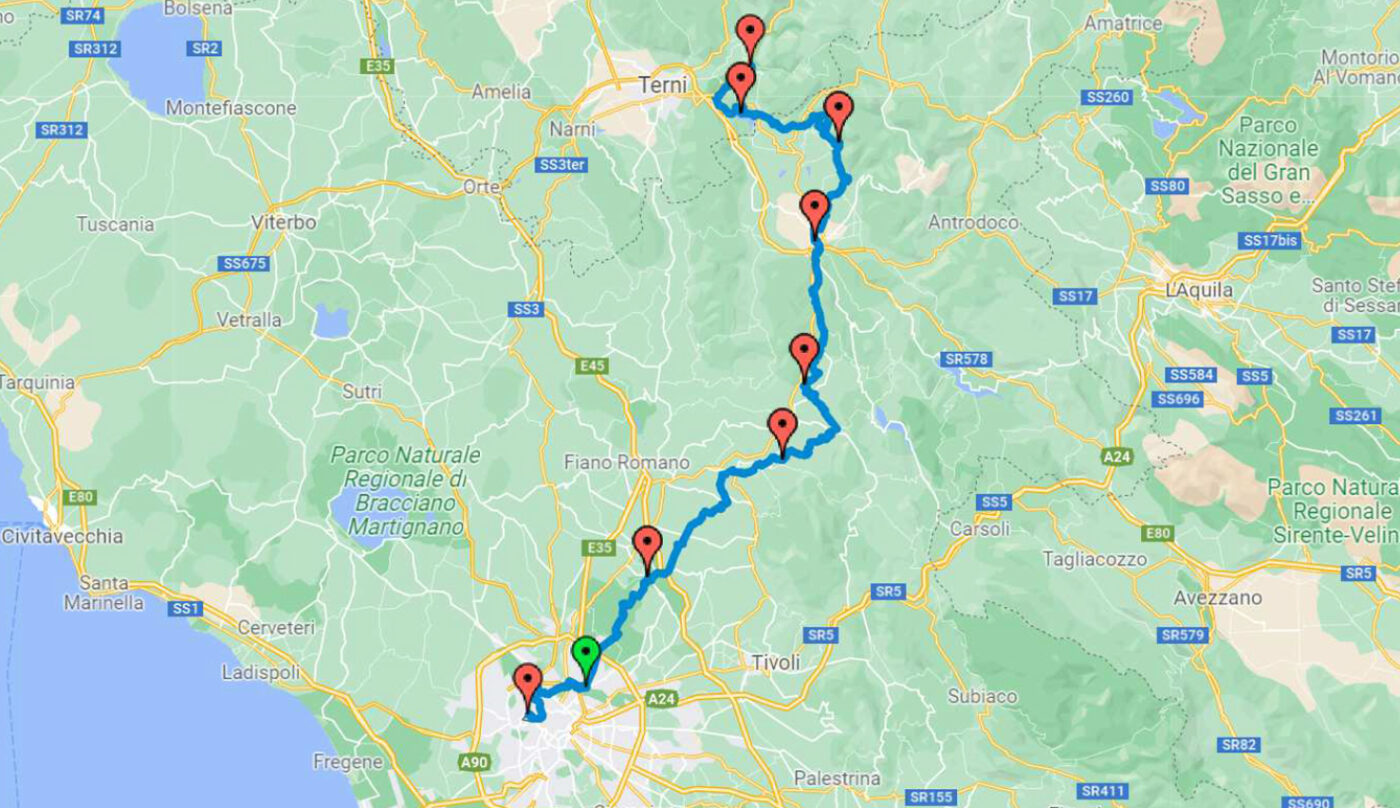
The stretch starts downhill to reach Ceselli and then on flat ground constantly accompanied by the murmur of the River Nera waters.
08
Distance 11,3 km - walking time 3.3 h
Day 8: Arrone - Piediluco
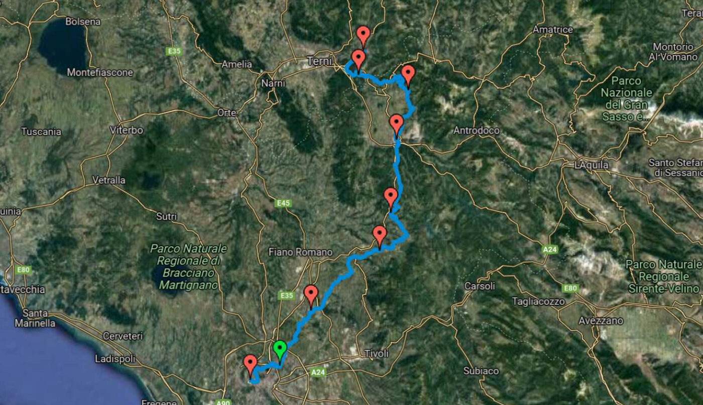
Today the path starts along the Valnerina valley on flat ground, and then looks over the magnificent Marmore waterfalls, to reach the plateau which hosts the beautiful Piediluco lake. Night in hotel, on the lake shores.
09
Distance 23,9 km - walking time 7 h
Day 9: Piediluco - Poggio Bustone
Today's itinerary develops on different terrains which changes from the sweet Umbrian landscapes to the appeninic ones, with slopes covered in beechwoods. The most significant point is the St. Francis beech tree, which protected the saint with its majestic branches. From here a downhill path leads to some ups and downs, in a mountain environment that will end in the village of Poggio Bustone.
010
Distance 17,6 km - walking time 5 h
Day 10: Poggio Bustone - Rieti
Today's stretch leads to the Rieti Valley, passing on halfway paths, through the Foresta Convent. On your left you will see the Monte Terminillo mountains, while on your left is the valley where the River Velino flows.
011
Distance 21,9 km - walking time 6 h
Day 11: Rieti - Poggio S. Lorenzo
Strenuous day, but passing through wild landscapes, hermitages and abbeys; you will walk in the beginning in the rivers Turano and Ariana rivers, and then passing to the typical Sabina environment.
012
Distance 20,4 km - walking time 5.30 h
Day 12: Poggio S. Lorenzo - Ponticelli di Scandriglia
After the wild we go back to human built environment, passing through cultivated fields, orchards, and olive groves, in a long and hard day.
013
Distance 29,9 km - walking time 7 h
Day 13: Ponticelli di Scandriglia - Monterotondo
Very long day with ups and downs between the Sabina hills and fields, some asphalt stretches and dirt roads.
014
Distance 18,4 km - walking time 5 h
Day 14: Monterotondo - Montesacro
The classic roman countryside takes place of the Sabina hills, with farmhouses and flocks of sheep which graze on the pasture lands, while passing through the regional park of the Marcigliana.
015
Distance 15,2 km - walking time 4 h
Day 15: Montesacro - Roma (S. Pietro)
Urban leg, which can also be done by buses. Anyway, on foot it's not unpleasant because passes through secondary roads, parks and cycle paths, near the banks of the rivers Aniene and Tevere.
016
Day 16: End our service
See you soon in Italy for your next adventure!

